Isle – Secteur Libournais
Coutras France


SIZE
25.5 km
SWIMS
-
ANGLERS
-
STOCK
Good
CARP
45lb +
DIFFICULTY
4/5
LAKE MAP
Yes
NIGHT FISHING
Yes
Isle – Secteur Libournais
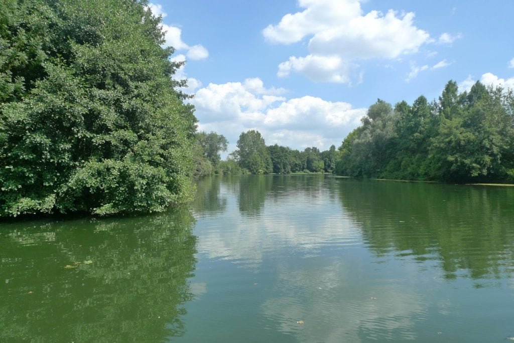
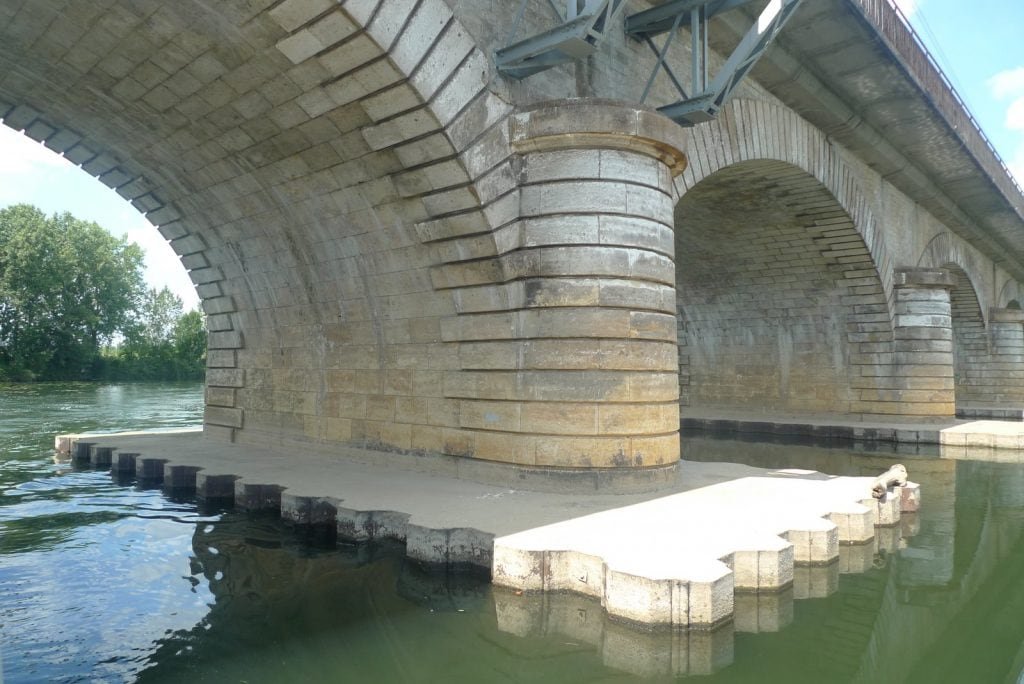
L'Isle (Sector Libournais) is a river in southwestern France in the Nouvelle-Aquitaine region, and a tributary of the Dordogne. The Isle has its source in the Massif Central, Haute-Vienne department at an altitude of 375 meters. Its course is estimated at 255.3 kilometers including 87 navigable kilometers. It joins the Dordogne at Libourne. The entire basin belongs to the Aquitaine oceanic climate. The tidal movement is felt as far as the Laubardemont lock near Coutras, about 5 hours behind the ocean.
Facilities
- Bait Available
- Tackle Hire
- Expert Guide
- Bait Boats
- Rowing Boats
- Lockbox
- Disabled Access
- -
- -
- -
- -
- -
- -
- -
- Toilets
- Food
- Showers
- Hot Water
- BBQ
- Car Parking
- Dogs Allowed
- -
- -
- -
- -
- -
- -
- -
Specifications
Use:
Type:
Size:
Swims
Max Anglers:
Stock:
Carp Weight:
Difficulty:
Night Fishing:
Fishing
River
25.5 km
-
-
Good
45lb +
4/5
Yes
Rules
-
Description
Isle – Secteur Libournais
L'Isle (Sector Libournais) is a river in southwestern France in the Nouvelle-Aquitaine region, and a tributary of the Dordogne. The Isle has its source in the Massif Central, Haute-Vienne department at an altitude of 375 meters. Its course is estimated at 255.3 kilometers including 87 navigable kilometers. It joins the Dordogne at Libourne. The entire basin belongs to the Aquitaine oceanic climate. The tidal movement is felt as far as the Laubardemont lock near Coutras, about 5 hours behind the ocean.
-
Facilities
- Bait Available
- Tackle Hire
- Expert Guide
- Bait Boats
- Rowing Boats
- Lockbox
- Disabled Access
- -
- -
- -
- -
- -
- -
- -
- Toilets
- Food
- Showers
- Hot Water
- BBQ
- Car Parking
- Dogs Allowed
- -
- -
- -
- -
- -
- -
- -
-
Specifications
Use:
Type:
Size:
Swims
Max Anglers:
Stock:
Carp Weight:
Difficulty:
Night Fishing:
Fishing
River
25.5 km
-
-
Good
45lb
4/5
Yes
-
Rules
-
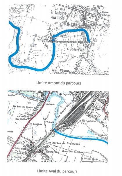
Lake Map
Advice for fishing in France can be found HERE.
-
Lake Video
-
Location
Advice for fishing in France can be found HERE.
GPS:
Lat 45.027233123779
Lon -0.143187046051 -
Contact
-
Live Weather