Retenue de l’Aigle
Soursac France
SIZE
750 hectares
SWIMS
-
ANGLERS
-
STOCK
Good
CARP
40lb +
DIFFICULTY
4/5
LAKE MAP
Yes
NIGHT FISHING
Yes
The Eagle Holdback
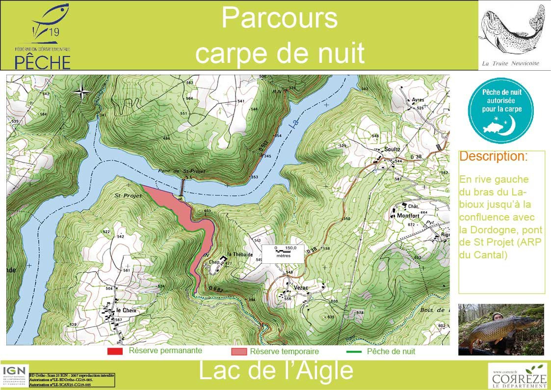
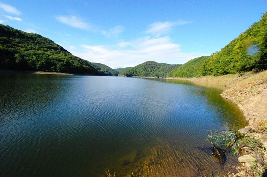
The Aigle dam lake is located in the town of Soursac en Corrèze (19), in the Nouvelle-Aquitaine region and the other part (left bank) in the town of Chalvignac in Cantal, in the Auvergne-Rhône region. Alps. The reservoir has an area of 750 hectares and 25 km long and deeply established on the course of the Dordogne, offers very wild scenery made of rocky cliffs, scree and strong wooded slopes. Long sectors with no trace of civilization provide a total change of scenery. Some accesses, mainly to the launchings, allow the practice of edge. Public lake:
Facilities
- Bait Available
- Tackle Hire
- Expert Guide
- Bait Boats
- Rowing Boats
- Lockbox
- Disabled Access
- -
- -
- -
- -
- -
- No
- -
- Toilets
- Food
- Showers
- Hot Water
- BBQ
- Car Parking
- Dogs Allowed
- -
- -
- -
- -
- -
- Yes
- Yes
Specifications
Use:
Type:
Size:
Swims
Max Anglers:
Stock:
Carp Weight:
Difficulty:
Night Fishing:
Fishing
Public Lake
750 hectares
-
-
Good
40lb +
4/5
Yes
Rules
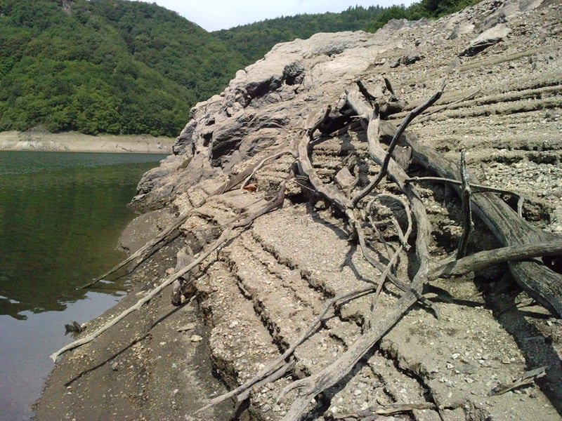
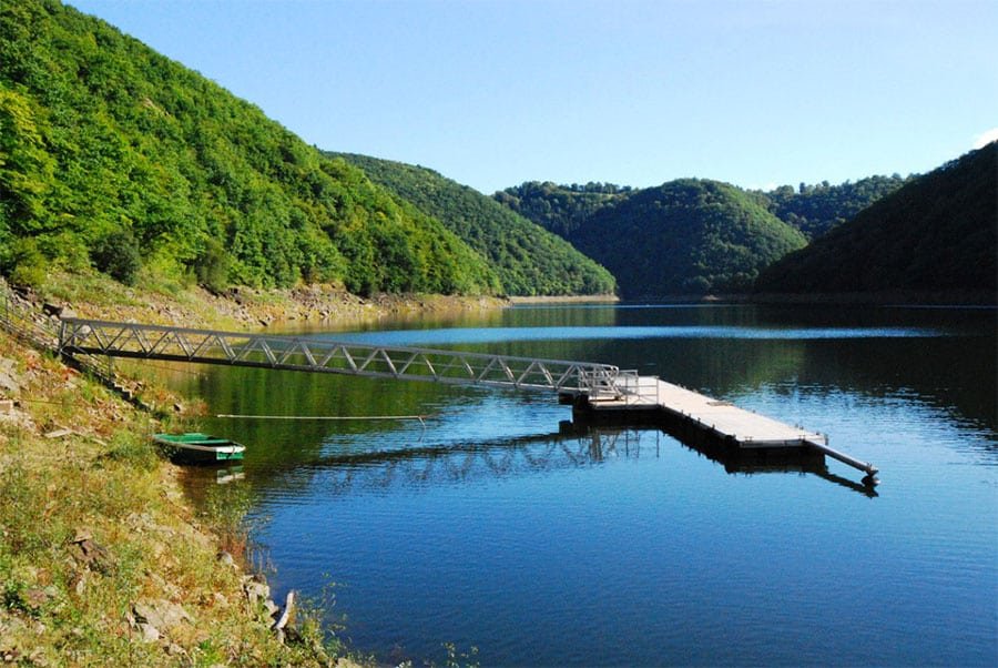
On these routes, only bait of plant origin are authorized. The practice of No-kill is mandatory. Transport of live carp over 60 cm is strictly prohibited. Launching: Pont de Vernejoux (15) towns of Sérandon and Champagnac les Mines (head of the dam), accessible with trailer up to 3 m below the normal level (-3 m) and down to -7 m with a light boat. Lanau (19), right bank, down to -10 m. Pont de St. Projet, left bank, (-30 m). Lamirande, right bank down to -20 m. Chalvignac, left bank (-14 m). Others: Subject to significant variations in level, tidal range, it is advisable to inquire with the federal answering machine: 05 55 26 43 26. Note the presence of amateur fishermen with gear (fishing with nets).
-
Description
The Eagle Holdback
The Aigle dam lake is located in the town of Soursac en Corrèze (19), in the Nouvelle-Aquitaine region and the other part (left bank) in the town of Chalvignac in Cantal, in the Auvergne-Rhône region. Alps. The reservoir has an area of 750 hectares and 25 km long and deeply established on the course of the Dordogne, offers very wild scenery made of rocky cliffs, scree and strong wooded slopes. Long sectors with no trace of civilization provide a total change of scenery. Some accesses, mainly to the launchings, allow the practice of edge. Public lake:
-
Facilities
- Bait Available
- Tackle Hire
- Expert Guide
- Bait Boats
- Rowing Boats
- Lockbox
- Disabled Access
- -
- -
- -
- -
- -
- No
- -
- Toilets
- Food
- Showers
- Hot Water
- BBQ
- Car Parking
- Dogs Allowed
- -
- -
- -
- -
- -
- Yes
- Yes
-
Specifications
Use:
Type:
Size:
Swims
Max Anglers:
Stock:
Carp Weight:
Difficulty:
Night Fishing:
Fishing
Public Lake
750 hectares
-
-
Good
40lb
4/5
Yes
-
Rules
On these routes, only bait of plant origin are authorized. The practice of No-kill is mandatory. Transport of live carp over 60 cm is strictly prohibited. Launching: Pont de Vernejoux (15) towns of Sérandon and Champagnac les Mines (head of the dam), accessible with trailer up to 3 m below the normal level (-3 m) and down to -7 m with a light boat. Lanau (19), right bank, down to -10 m. Pont de St. Projet, left bank, (-30 m). Lamirande, right bank down to -20 m. Chalvignac, left bank (-14 m). Others: Subject to significant variations in level, tidal range, it is advisable to inquire with the federal answering machine: 05 55 26 43 26. Note the presence of amateur fishermen with gear (fishing with nets).
-
Lake Map
Advice for fishing in France can be found HERE.

-
Lake Video
-
Location
Advice for fishing in France can be found HERE.
GPS:
Lat 45.243747711182
Lon 2.224812746048 -
Contact
-
Live Weather


