Lac du Bourget
Aix-les-Bains France
SIZE
4450 hectares
SWIMS
-
ANGLERS
-
STOCK
Good
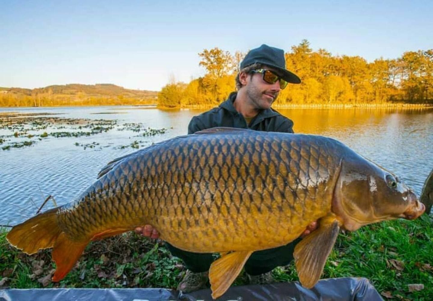
CARP
50lb +
DIFFICULTY
3/5
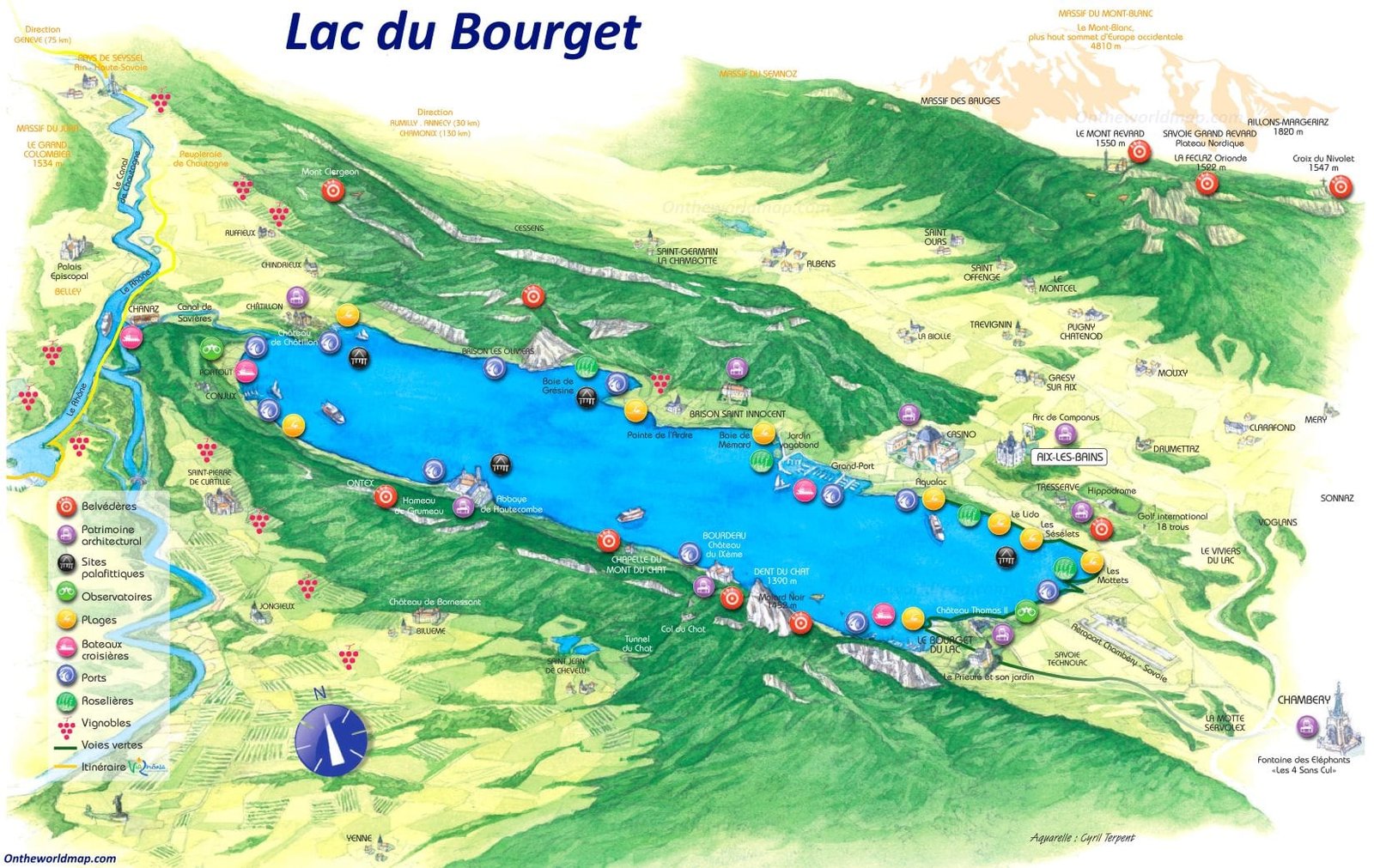
LAKE MAP
Yes
NIGHT FISHING
Yes
Lac du Bourget
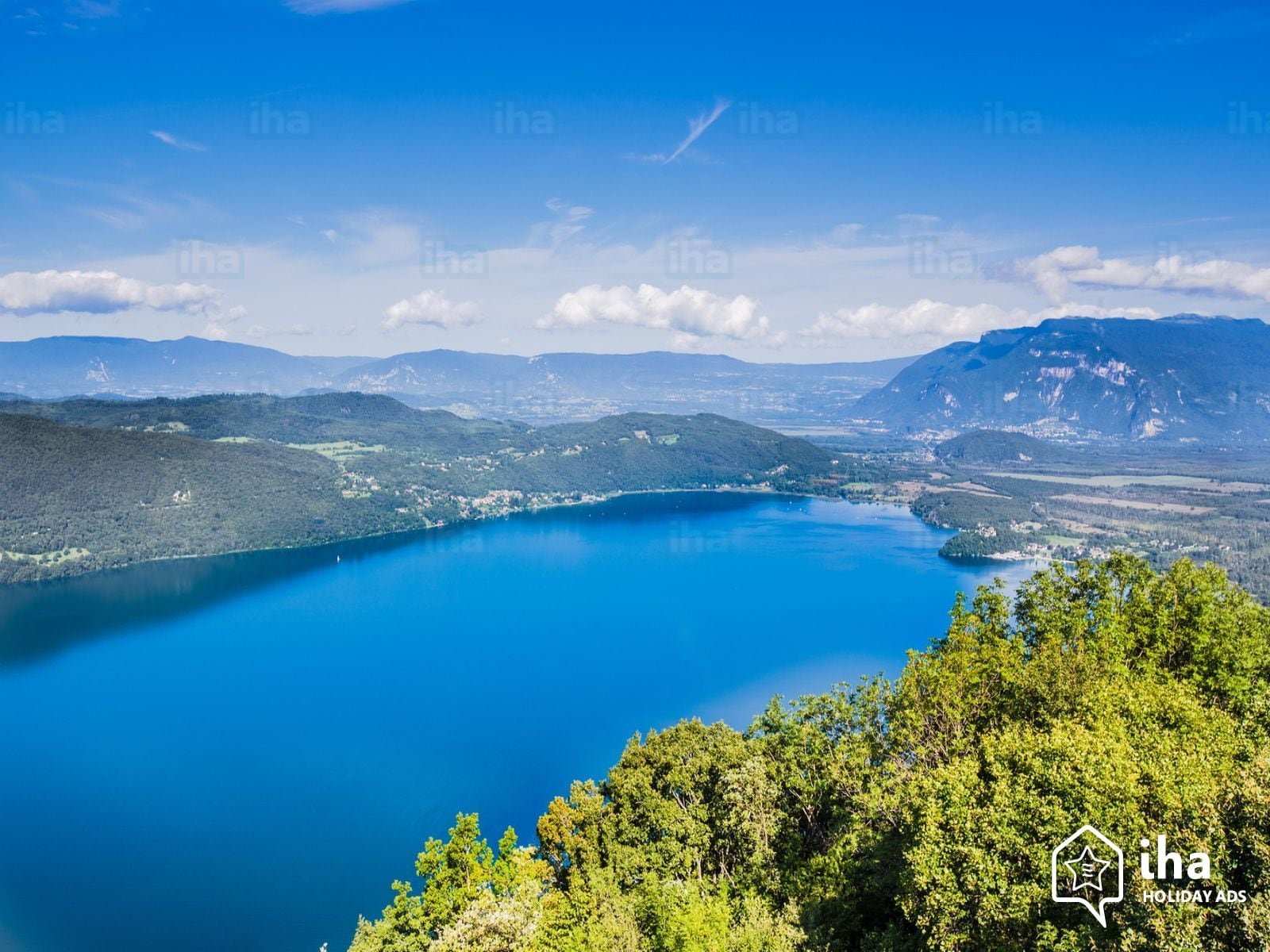
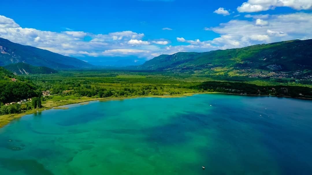
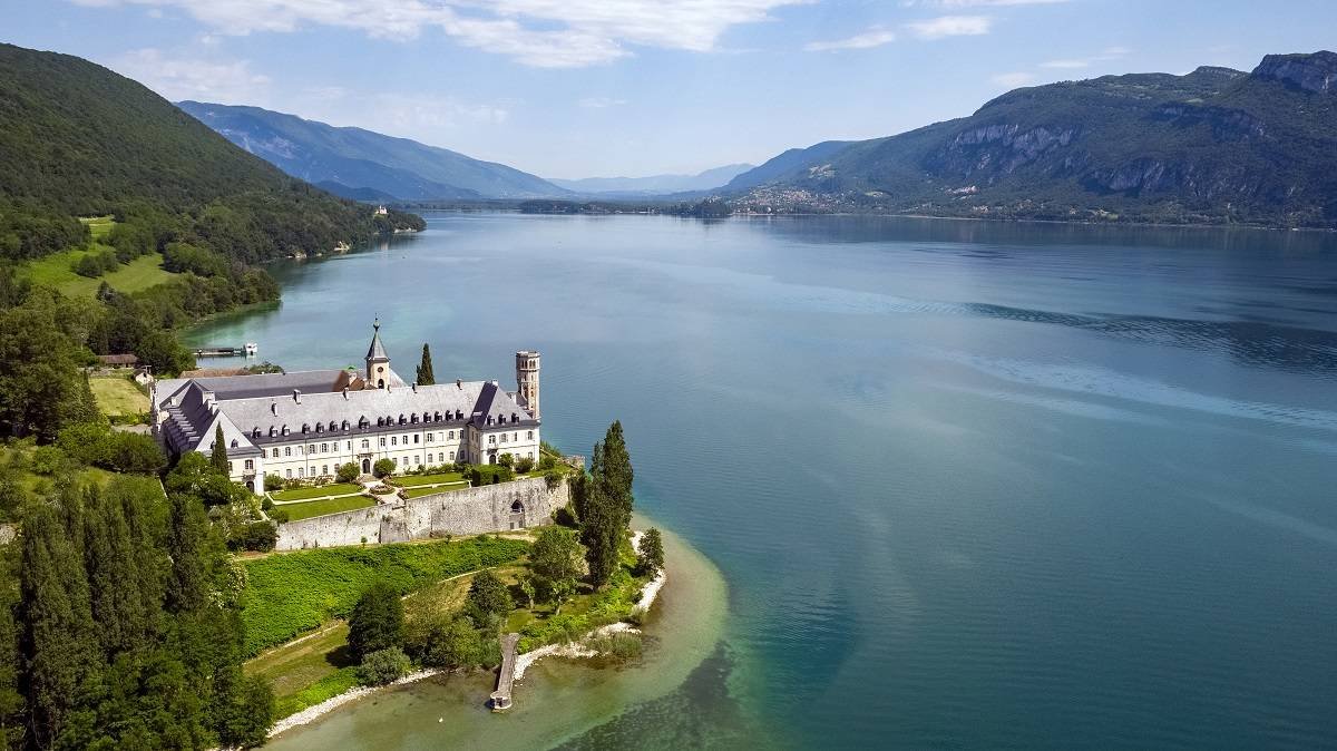
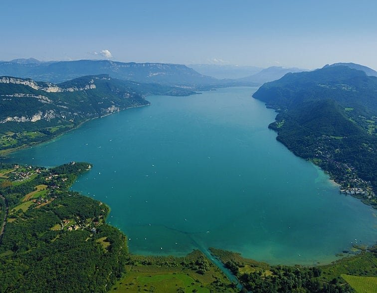
Lac du Bourget, also locally known as Lac Gris or Lac d'Aix, is a lake at the southernmost end of the Jura Mountains in the department of Savoie, France. It is the deepest lake located entirely within France, and either the largest or second largest after Lac de Grand-Lieu depending on season.

The largest town on its shore is Aix-les-Bains. Chambéry, the capital of Savoie, lies about 10 km south of the lake. The lake is mainly fed by the river Leysse (and other small rivers), and it drains towards the river Rhône through the Canal de Savières, an artificial channel. It is a Ramsar site. The extinct bezoule was found only in this lake

The lake is bordered by the steep summits of the Mont du Chat and the Chaîne de l'Épine on the west, and Bauges Mountains on the east, which form its shores.
Facilities
- Bait Available
- Tackle Hire
- Expert Guide
- Bait Boats
- Rowing Boats
- Lockbox
- Disabled Access
- -
- -
- -
- -
- -
- -
- -
- Toilets
- Food
- Showers
- Hot Water
- BBQ
- Car Parking
- Dogs Allowed
- -
- -
- -
- -
- -
- -
- -
Specifications
Use:
Type:
Size:
Swims
Max Anglers:
Stock:
Carp Weight:
Difficulty:
Night Fishing:
Fishing
Public Lake
4450 hectares
-
-
Good
50lb +
3/5
Yes
Rules
-
Description
Lac du Bourget
Lac du Bourget, also locally known as Lac Gris or Lac d'Aix, is a lake at the southernmost end of the Jura Mountains in the department of Savoie, France. It is the deepest lake located entirely within France, and either the largest or second largest after Lac de Grand-Lieu depending on season.

The largest town on its shore is Aix-les-Bains. Chambéry, the capital of Savoie, lies about 10 km south of the lake. The lake is mainly fed by the river Leysse (and other small rivers), and it drains towards the river Rhône through the Canal de Savières, an artificial channel. It is a Ramsar site. The extinct bezoule was found only in this lake

The lake is bordered by the steep summits of the Mont du Chat and the Chaîne de l'Épine on the west, and Bauges Mountains on the east, which form its shores.
-
Facilities
- Bait Available
- Tackle Hire
- Expert Guide
- Bait Boats
- Rowing Boats
- Lockbox
- Disabled Access
- -
- -
- -
- -
- -
- -
- -
- Toilets
- Food
- Showers
- Hot Water
- BBQ
- Car Parking
- Dogs Allowed
- -
- -
- -
- -
- -
- -
- -
-
Specifications
Use:
Type:
Size:
Swims
Max Anglers:
Stock:
Carp Weight:
Difficulty:
Night Fishing:
Fishing
Public Lake
4450 hectares
-
-
Good
50lb
3/5
Yes
-
Rules
-
Lake Map
Advice for fishing in France can be found HERE.
-
Lake Video
-
Location
Advice for fishing in France can be found HERE.
GPS:
Lat 45.734989166260
Lon 5.870500087738 -
Contact
-
Live Weather
