Ceira River
Coimbra Portugal
SIZE
100 km
SWIMS
-
ANGLERS
-
STOCK
Good
CARP
50lb +
DIFFICULTY
3/5
LAKE MAP
Yes
NIGHT FISHING
-
Ceira River
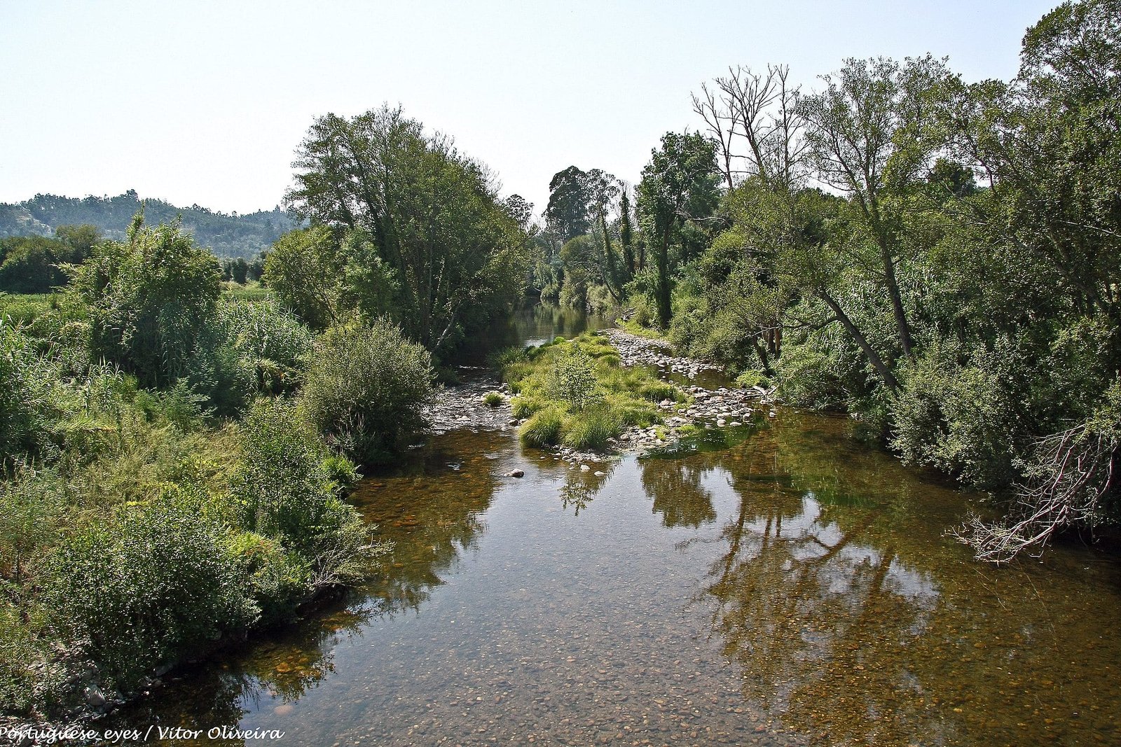
The Ceira arises in the Covilhã Municipality and flows basically southwest through Pampilhosa da Serra Municipality until it enters Góis Municipality and flows west past its villages of Soito, Colmeal, Sobral, Candosa, Capelo, Sandinha, and Cabreira to Cortecega where it turns north past the villages of Carcavelos, Góis, Nogueiro, Várzea Pequena, and Vila Nova do Ceira.

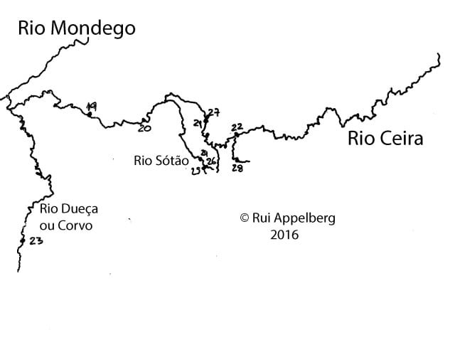
At Juncal, Góis Municipality, where it is joined from the left (south) by the Rio Sótão, the river again turns southwest towards Serpins after which it heads west past Casal de Ermio. Shortly after Casal de Ermio, the river heads northwest past the village of Foz de Arouce, where it is joined from the left (southwest) by the Rio Arouce.
Facilities
- Bait Available
- Tackle Hire
- Expert Guide
- Bait Boats
- Rowing Boats
- Lockbox
- Disabled Access
- -
- -
- -
- -
- -
- -
- -
- Toilets
- Food
- Showers
- Hot Water
- BBQ
- Car Parking
- Dogs Allowed
- -
- -
- -
- -
- -
- -
- -
Specifications
Use:
Type:
Size:
Swims
Max Anglers:
Stock:
Carp Weight:
Difficulty:
Night Fishing:
Fishing
River
100 km
-
-
Good
50lb +
3/5
-
Rules
-
Description
Ceira River
The Ceira arises in the Covilhã Municipality and flows basically southwest through Pampilhosa da Serra Municipality until it enters Góis Municipality and flows west past its villages of Soito, Colmeal, Sobral, Candosa, Capelo, Sandinha, and Cabreira to Cortecega where it turns north past the villages of Carcavelos, Góis, Nogueiro, Várzea Pequena, and Vila Nova do Ceira.

At Juncal, Góis Municipality, where it is joined from the left (south) by the Rio Sótão, the river again turns southwest towards Serpins after which it heads west past Casal de Ermio. Shortly after Casal de Ermio, the river heads northwest past the village of Foz de Arouce, where it is joined from the left (southwest) by the Rio Arouce.
-
Facilities
- Bait Available
- Tackle Hire
- Expert Guide
- Bait Boats
- Rowing Boats
- Lockbox
- Disabled Access
- -
- -
- -
- -
- -
- -
- -
- Toilets
- Food
- Showers
- Hot Water
- BBQ
- Car Parking
- Dogs Allowed
- -
- -
- -
- -
- -
- -
- -
-
Specifications
Use:
Type:
Size:
Swims
Max Anglers:
Stock:
Carp Weight:
Difficulty:
Night Fishing:
Fishing
River
100 km
-
-
Good
50lb
3/5
-
-
Rules
-
Lake Map
Advice for fishing in Portugal can be found HERE.
-
Lake Video
-
Location
Advice for fishing in Portugal can be found HERE.
GPS:
Lat 40.199211120605
Lon -8.426779747009 -
Contact
-
Live Weather
